A paddle through Quetico
Provincial Park with
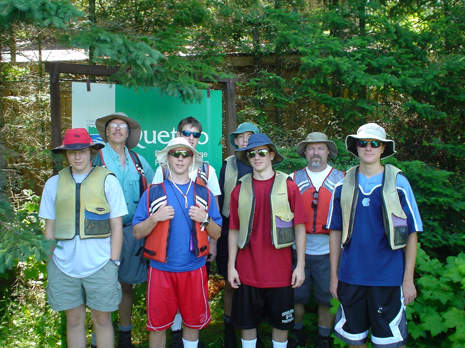
BSA Troop 449
Joel Dunn, Scoutmaster
Crew: 6 scouts, two adult scouters, and one guide from BSA Sommers Canoe Base
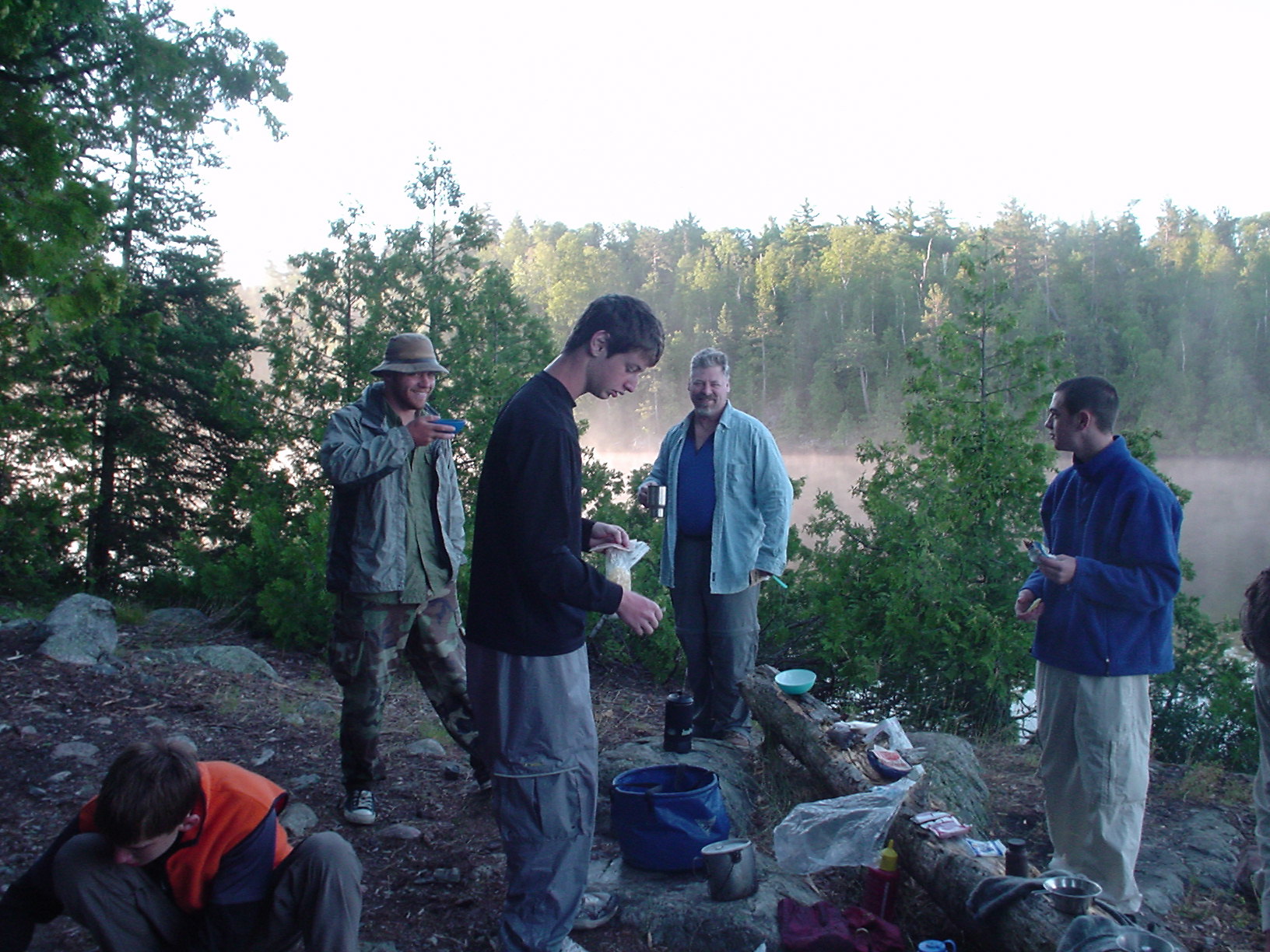
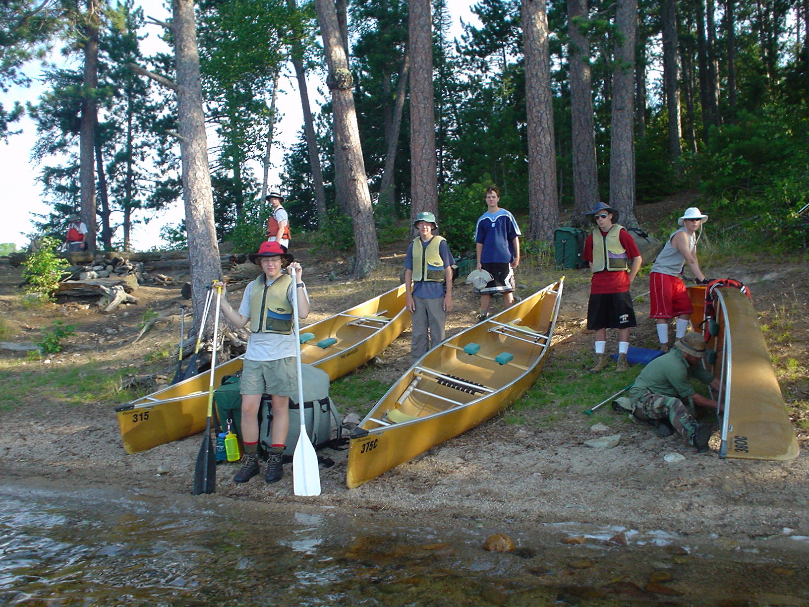
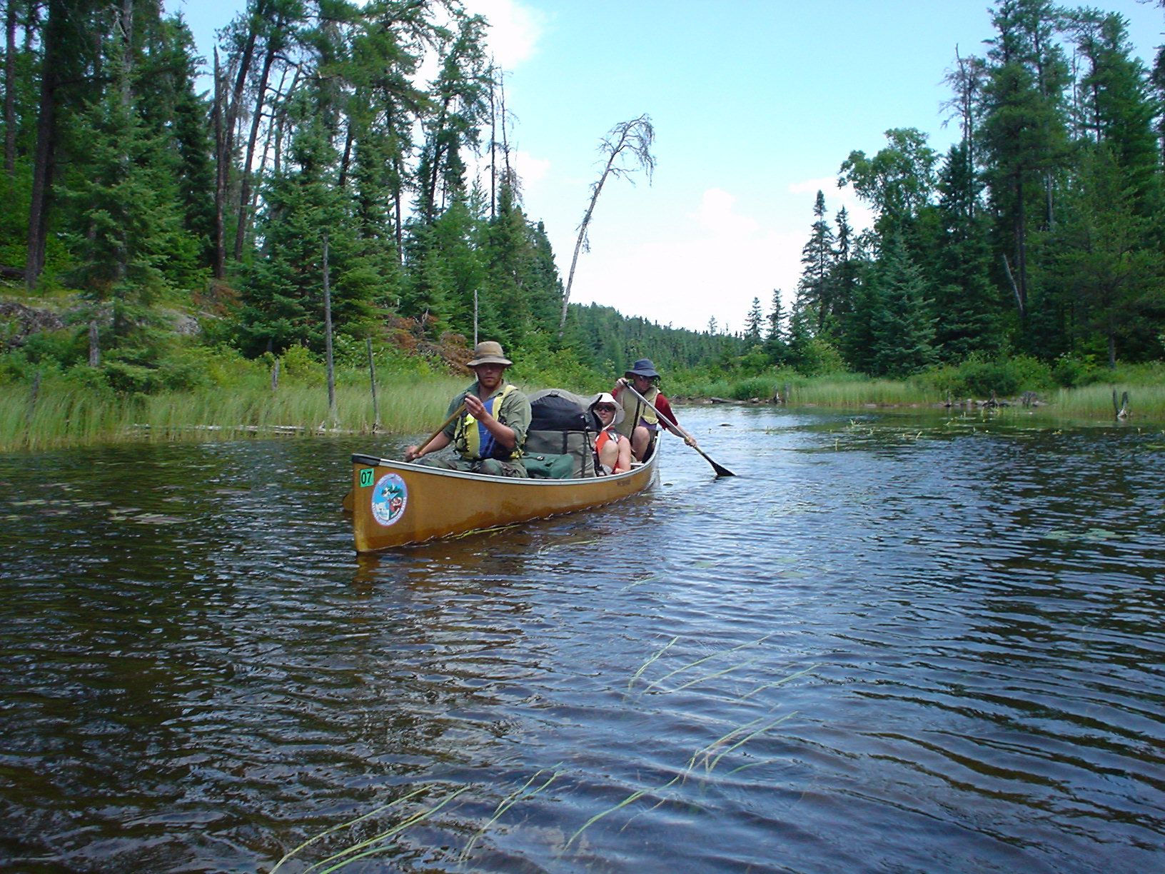
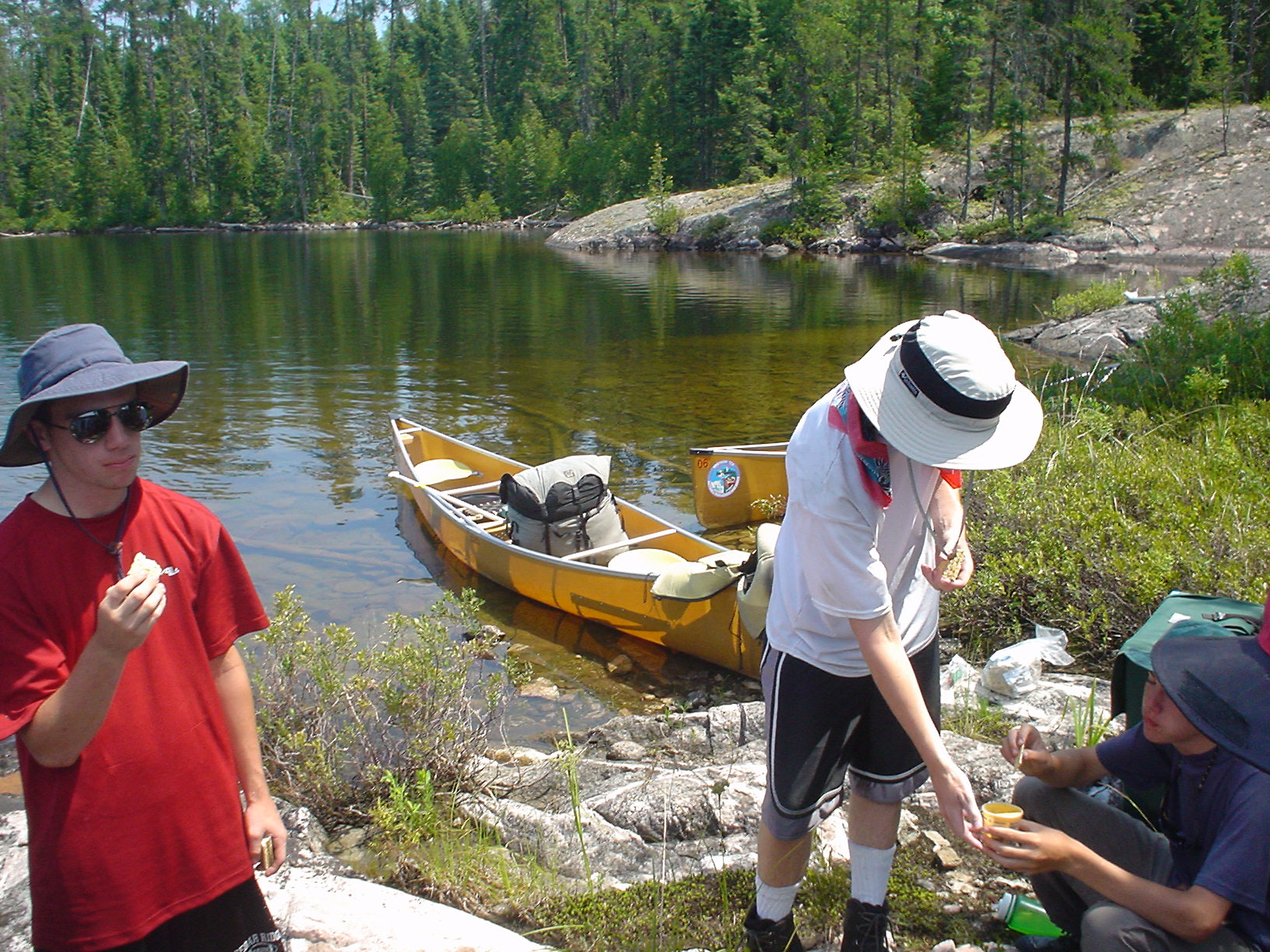
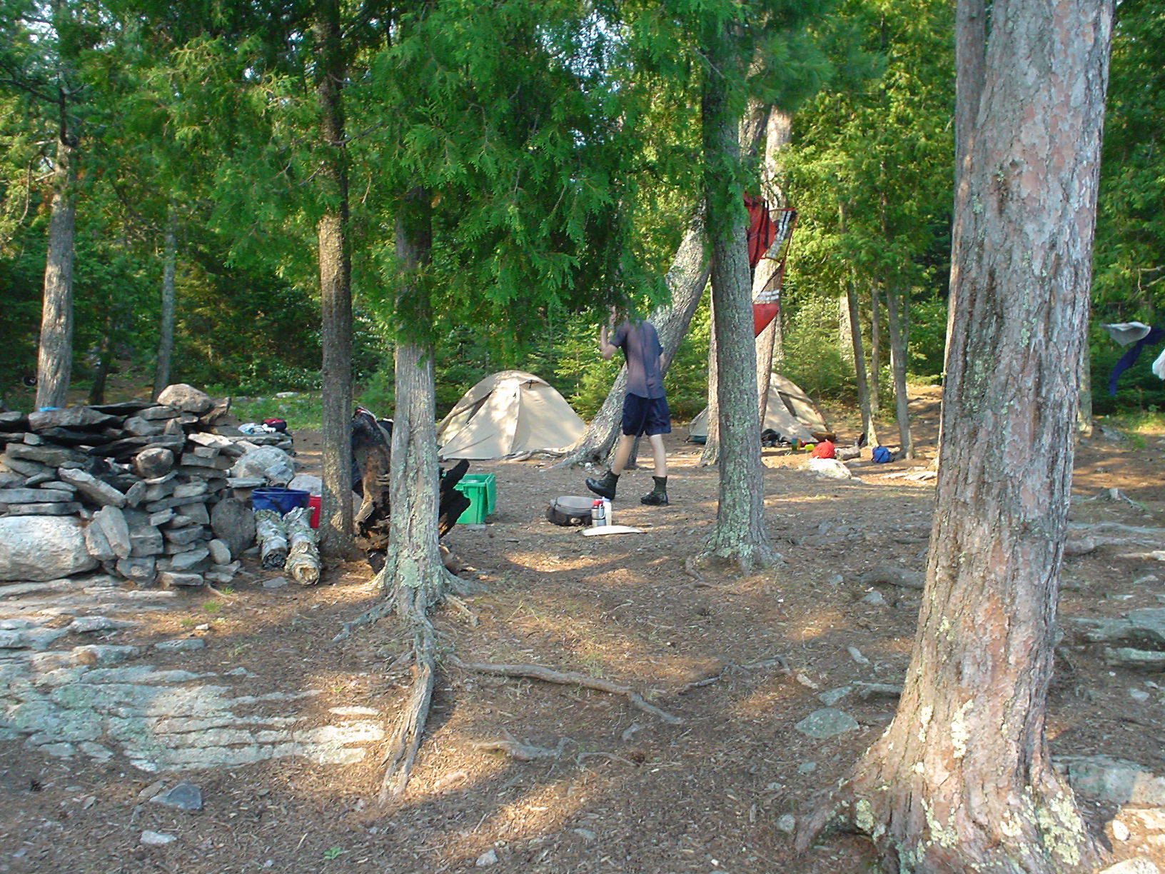
Arrived at about 3:30 PM on Friday 7/7/06, and outfitted. We were issued our tents, our crew gear, and our “gray whales” for our personal gear, and our food for the expedition. We verified that we had the right tent poles, that our stoves worked, and we had everything on our checklist. We checked that we had a week’s worth of grub, and packed into the food packs. Each canoe would have 3 people, either a food pack or the gear (kettle) pack, and a gray whale for the personal gear of the folks in the boat. For canoes, we had selected the 18’ Kevlar Champlain model from We-no-nah. Each canoe would be loaded heavily, with 700 pounds or so of scouts, leaders, and packs, as the full kettle/food packs and the whales each weighed 75-80 pounds. The canoe only weighed 45-50 pounds, but was somewhat awkward to carry until you got used to it, especially on steep/rocky trails.
Day 1 (Saturday 7/8/06)
Base Camp to Carp Lake
14 miles, 40 rods
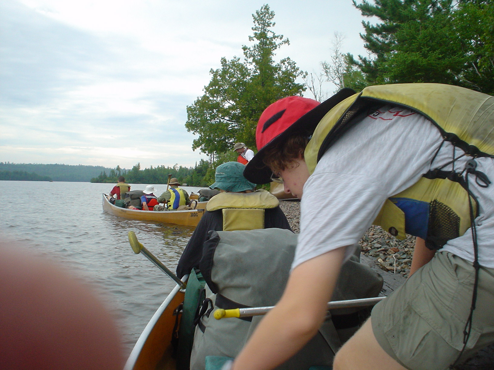
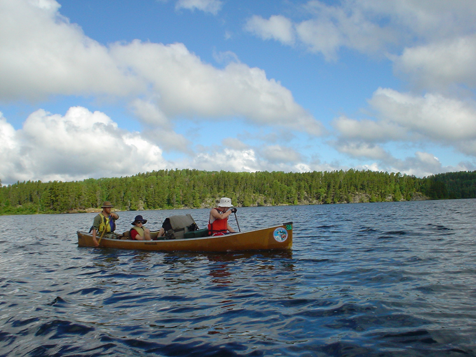
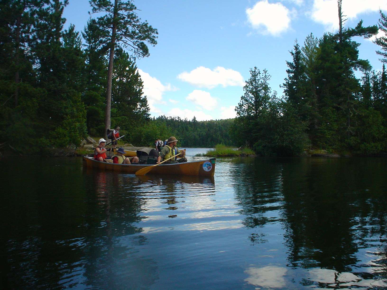
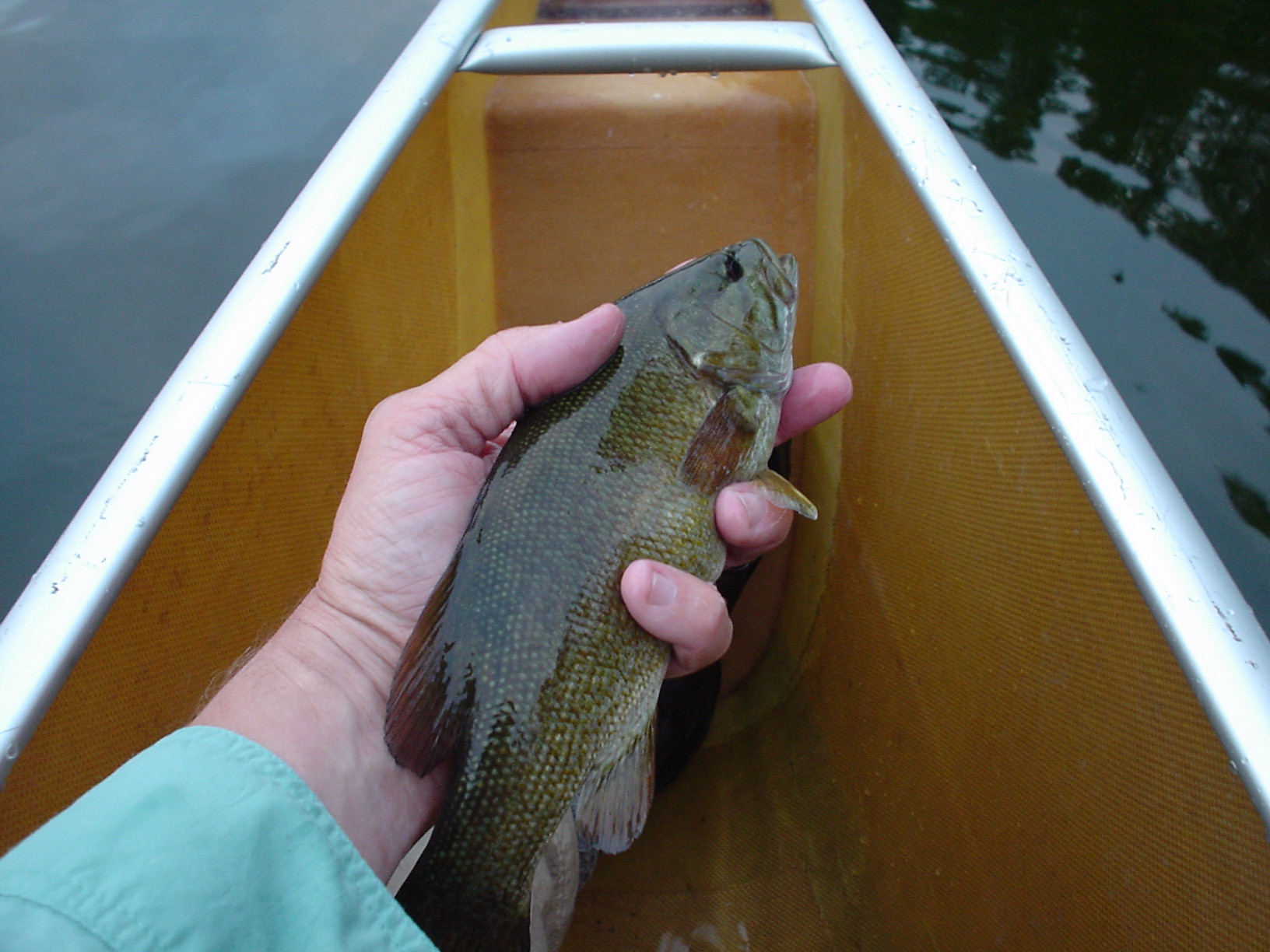
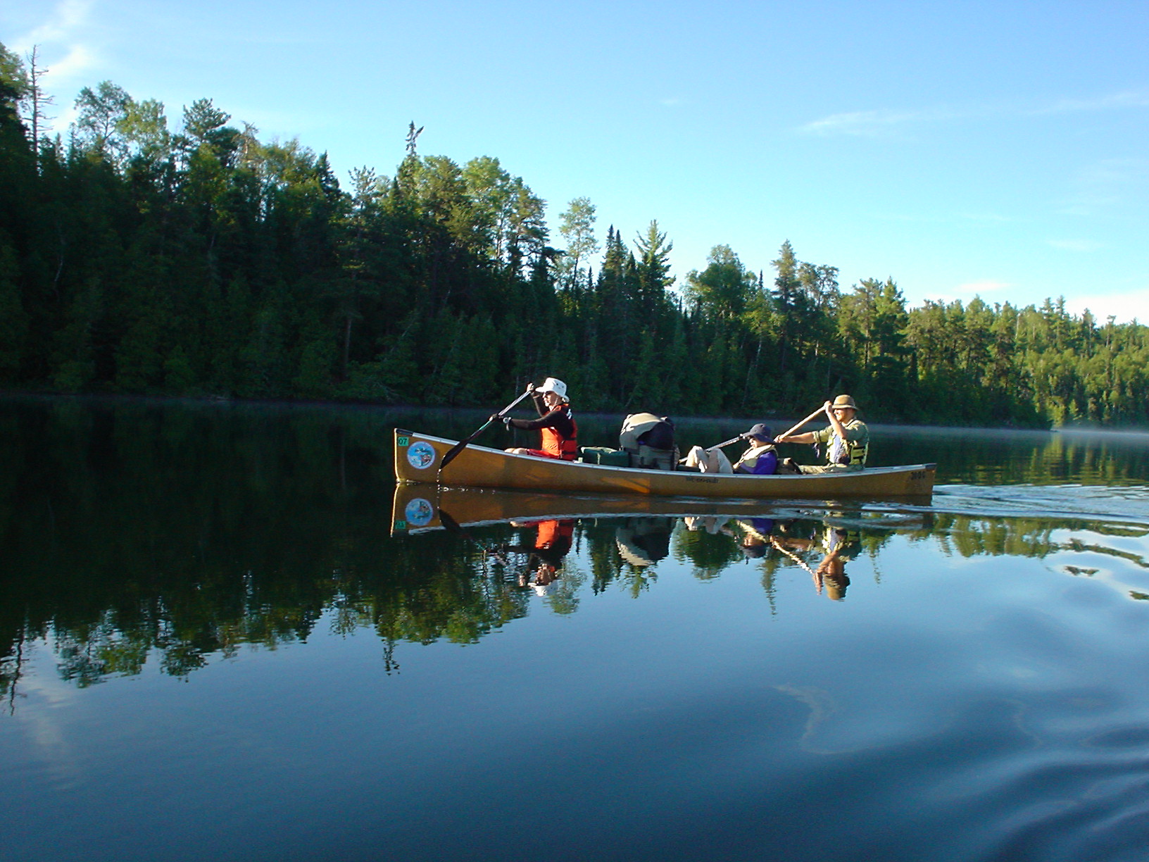
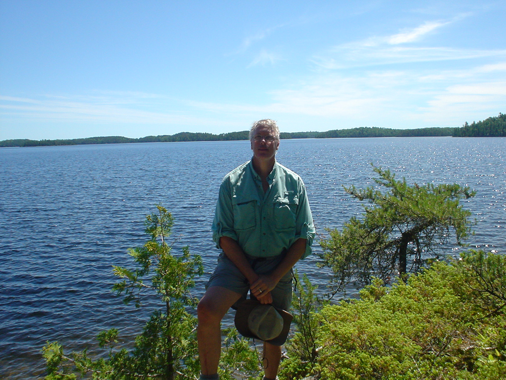
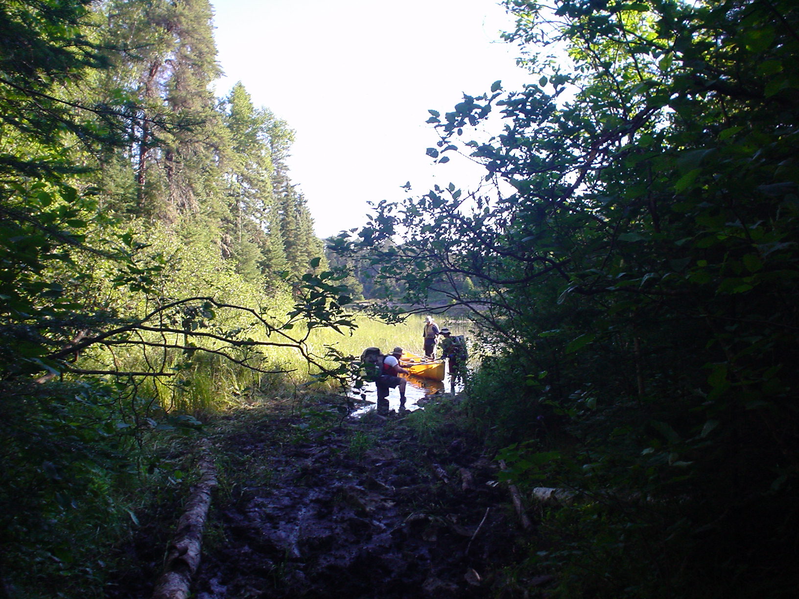
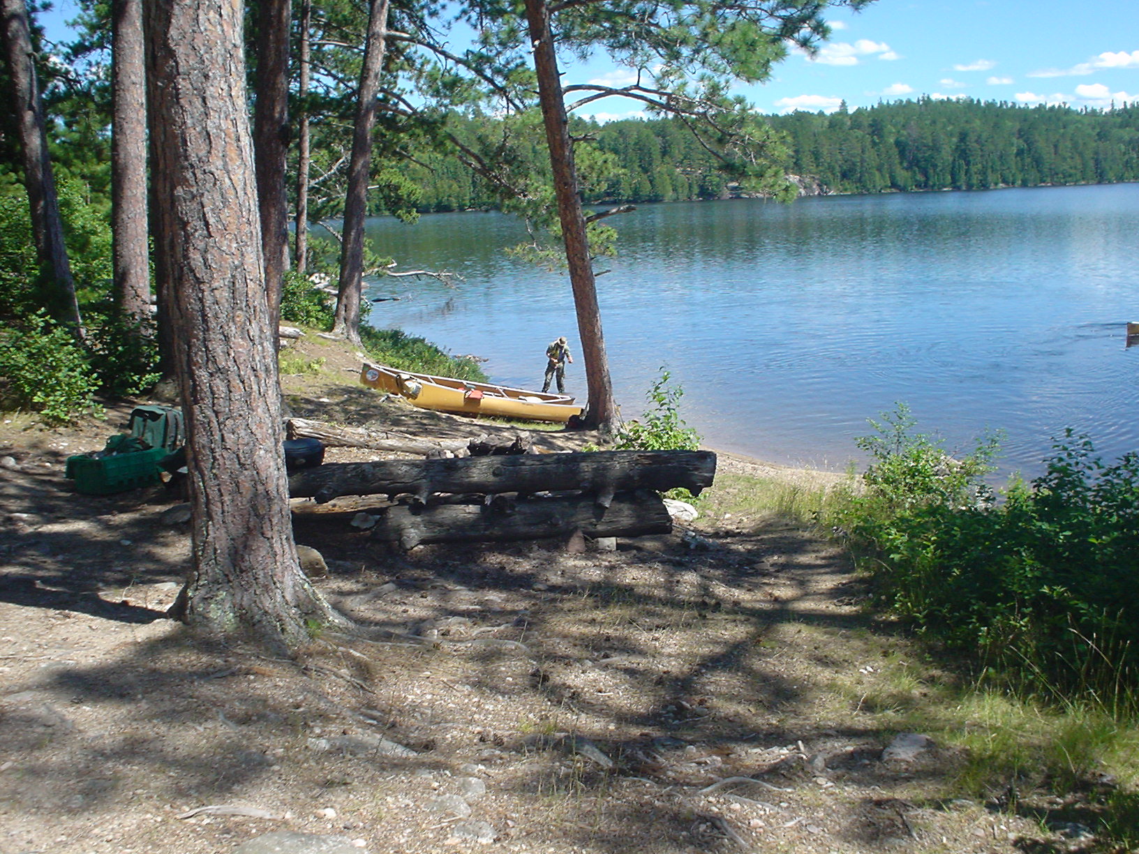
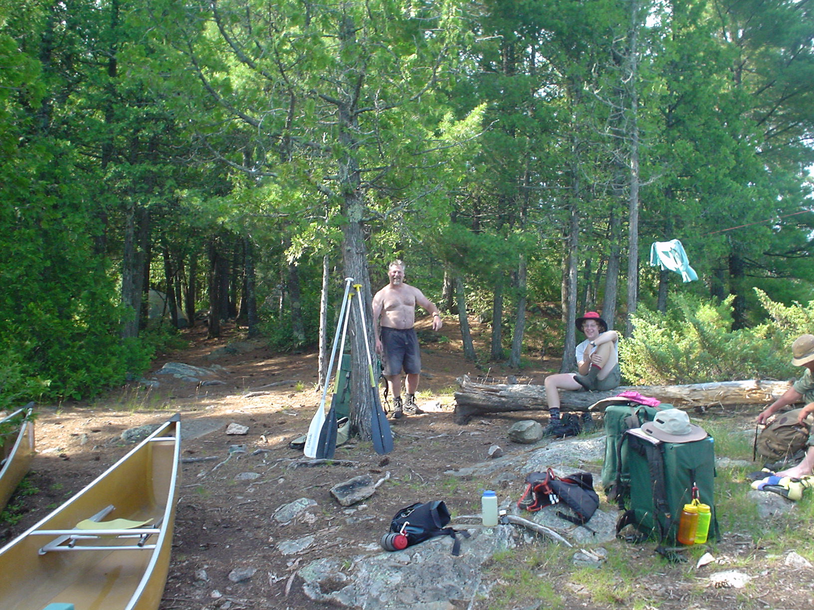
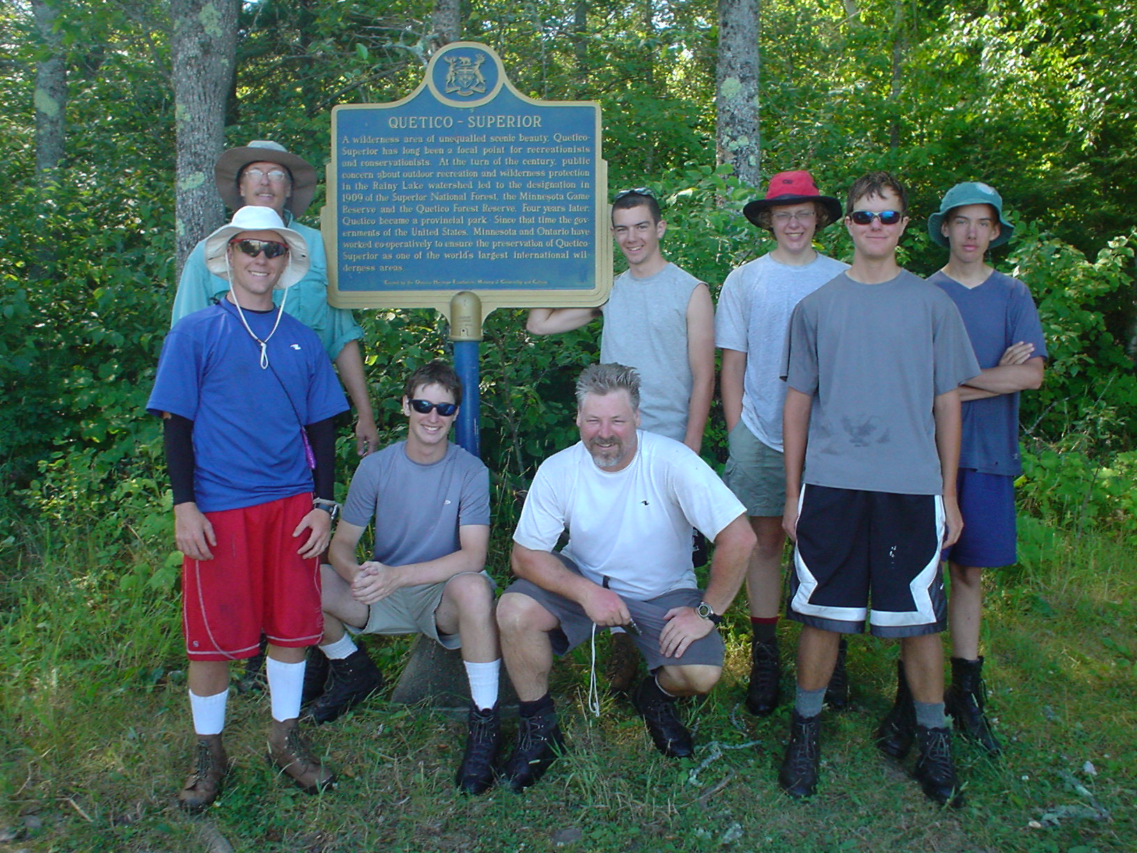
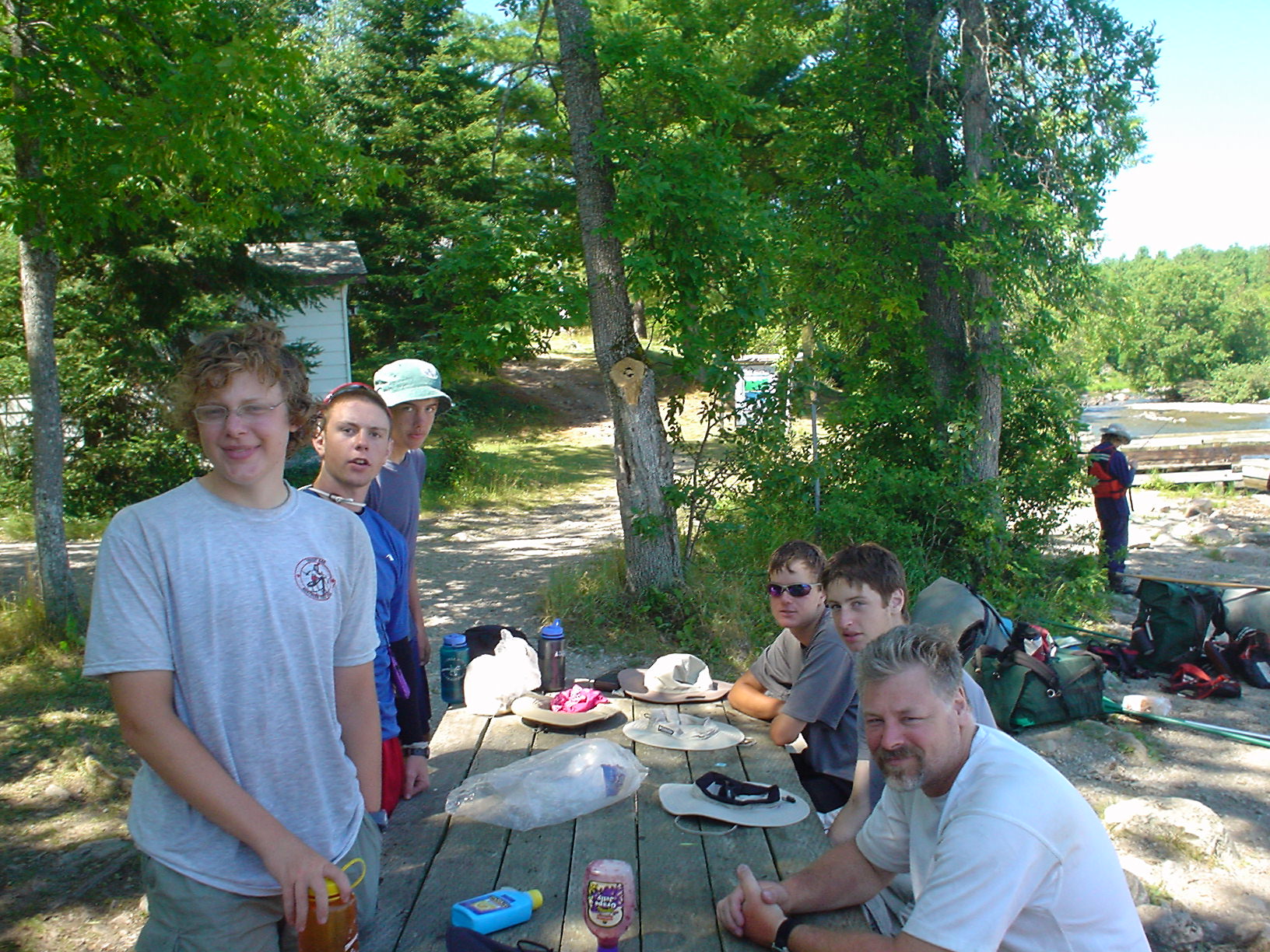
At about 9AM, we left base camp on Moose Lake, MN, and paddled across Moose, Newfound and Sucker Lakes on the way to Prairie Portage (left to right we are Jeff D, Joel, Eric, Justin, Hank, Adam, Jeff R, and Corey – Darren, our guide, took the picture), at the USA – Canada border. We presented RABC permits and paid the balance of our Quetico camping fees; listened to the ranger’s summary of the rules and regulations for Quetico. We left Prairie Portage and headed northeast along the US – Canadian border through Birch Lake, along the old trade route. Historically, the border in this area followed the route that the voyageurs took in support of the fur trade. Our Quetico entry permit was for Carp Lake, so we needed to stay somewhere in that vicinity. As we approached our first portage, each boat crew decided who would carry the kettle/food pack, the whale, and the boat. After crossing the 40-rod portage (our first of this trip) from Birch Lake into Carp lake, we turned north off the border and into Carp Lake proper. We paddled about 3 miles into Carp Lake. Carp Lake narrows again, and we stopped to camp on the lee side of a point not far from the portage to Crawford Lake. I decided to try some flyfishing, even though the wind was blowing briskly from the southwest, swirling all around the point, and making it difficult to cast in any direction. I tried briefly immediately in front of the campsite, but there was no place to get a good backcast, and with a heavily weighted wooly bugger, I couldn’t roll cast. There was a cove nearby, and I connected with a couple of smallmouth on the deep rig. I picked up one bass in shallow water over some rock ledges using a light blue popper. The fishing was somewhat slow, my arms were sore from the unaccustomed work paddling, and as dusk came on, the bugs were more vigorous, so we retired to our tents.
Day 2 (Sunday 7/9/06)
Carp Lake to Ottertrack
13 miles, 195 rods
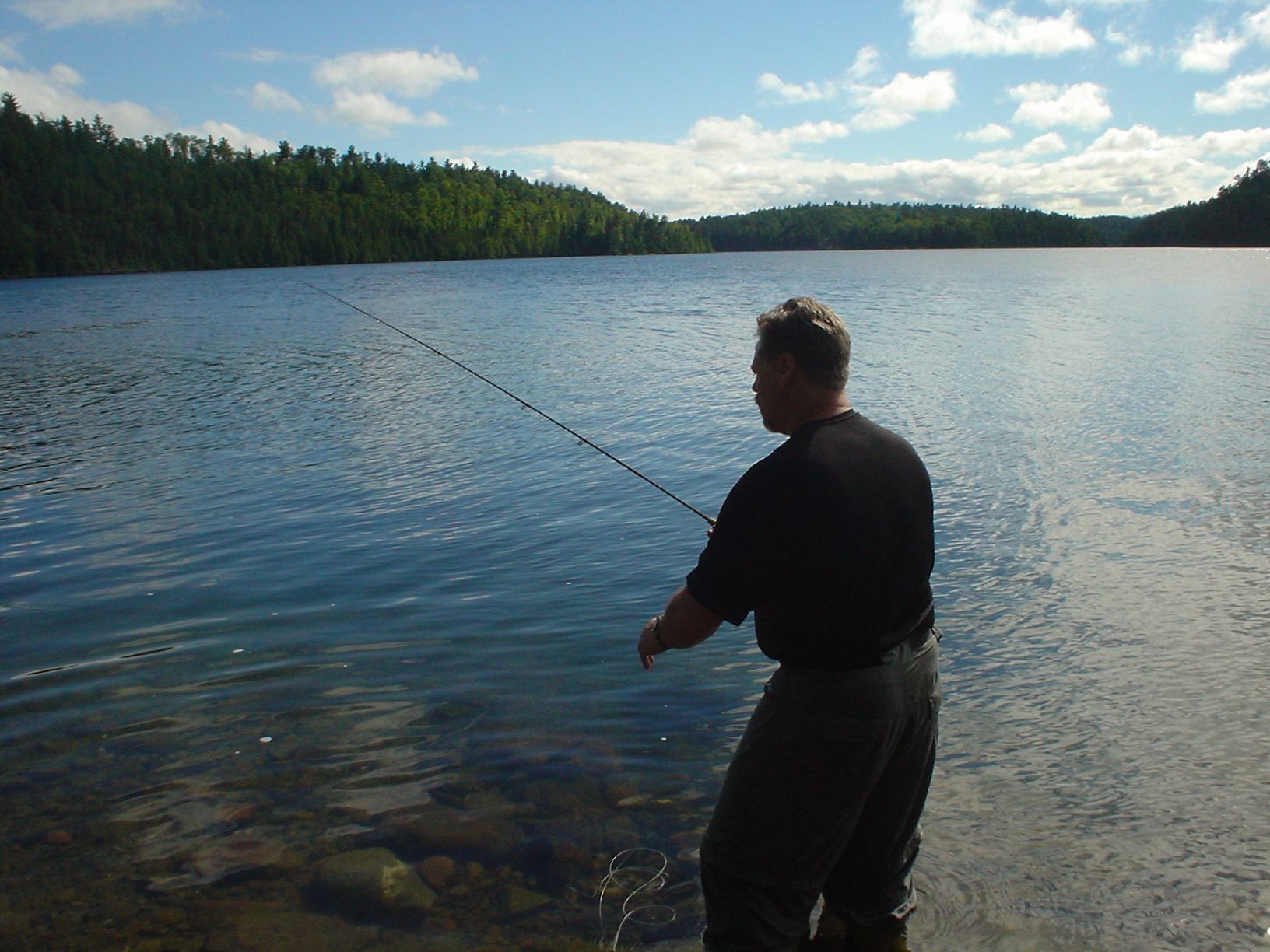
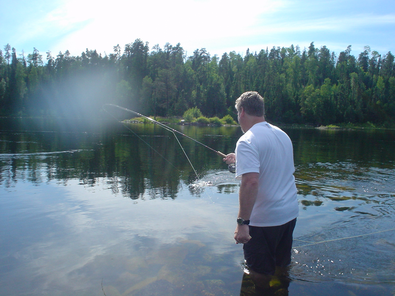
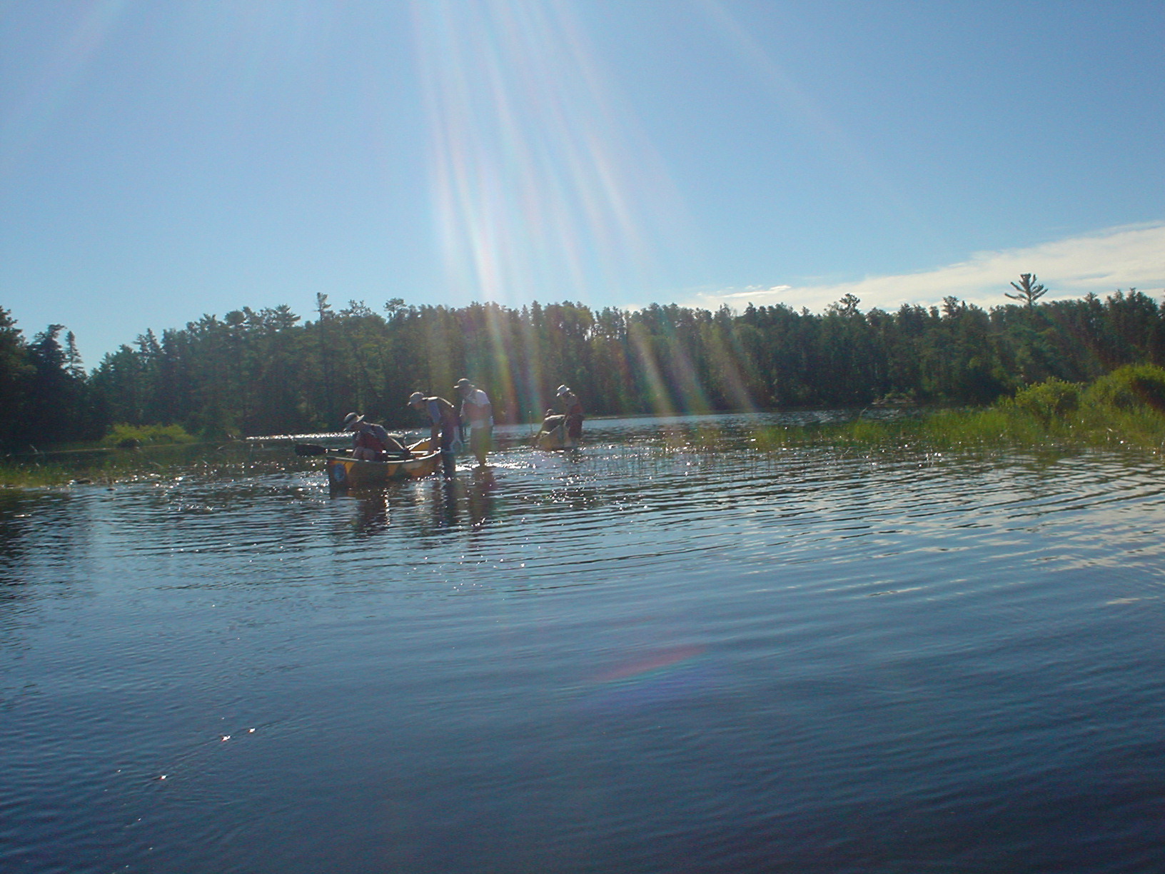
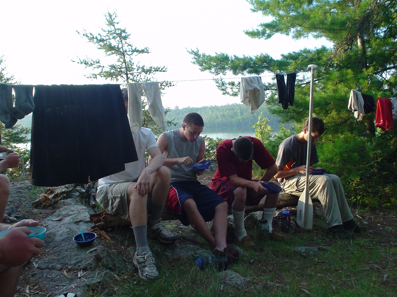
Slept in longer than we should have, finally stirring about 7AM. The wind was still blowing vigorously, but had now shifted 180 degrees and uncharacteristically, was coming from the northeast. We started out toward Crawford Lake about 9AM. Did a 10-rod portage into Crawford Lake, and then the 180-rod Knife Portage back into Knife Lake, and back onto the border and the trade route. Started a long, difficult paddle against a 15-20mph wind up Knife Lake. Stopped in the lee of an island for a break. Made it to Little Knife Portage (only 5 rods) at the end of Knife Lake about 3PM. What a break! Out of the wind at last. Paddled about 2 miles up Ottertrack and made camp. Jeff R. wanted to learn to flyfish, so I set him up with one of my outfits and we worked on his casting for a long while that evening, in spite of the wind. No fish for him yet, though. I managed a few more smallmouth like this as well as a small pike, before dusk and “bug time” drove us to our tents.
Day 3 (Monday 7/10/06)
Ottertrack to Silver Falls
14 miles, 241 rods
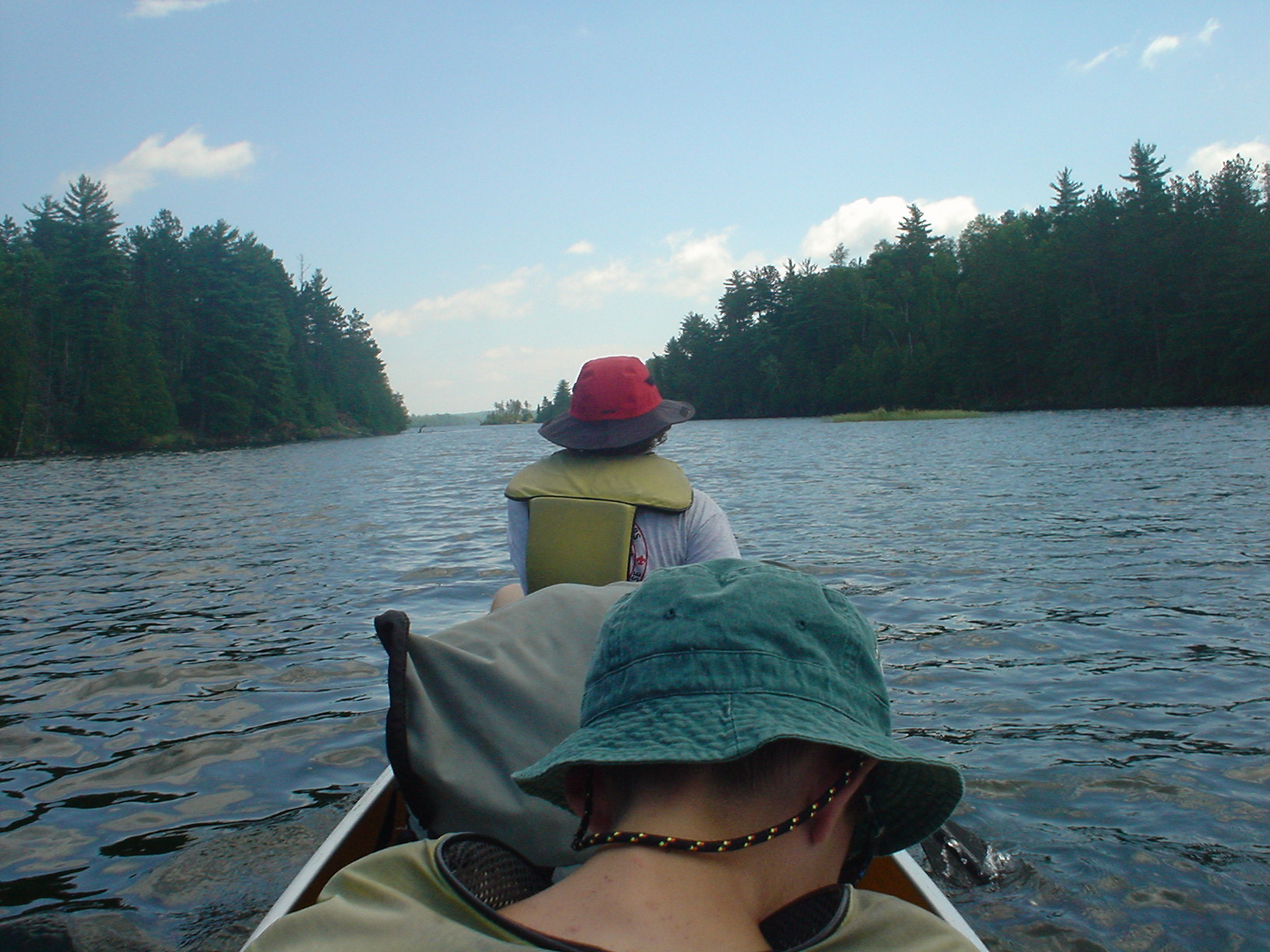
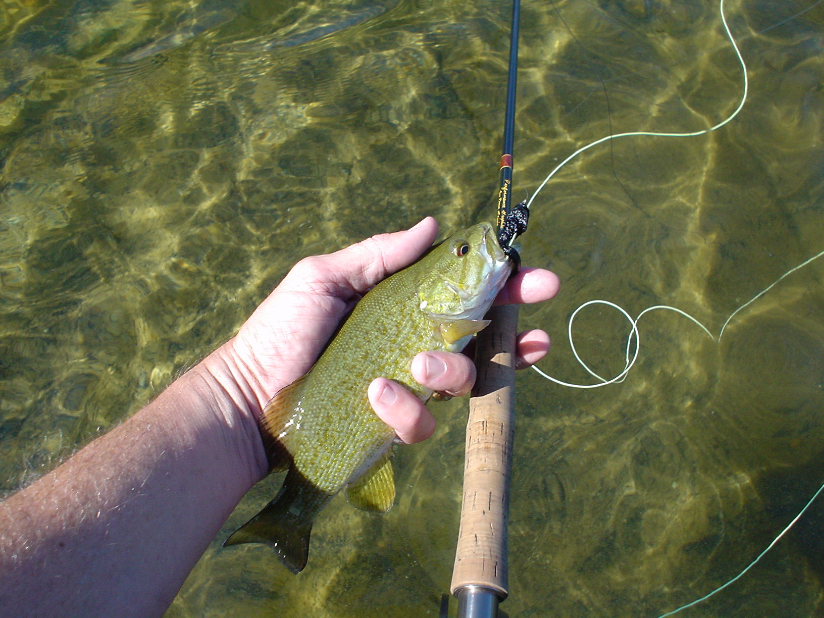
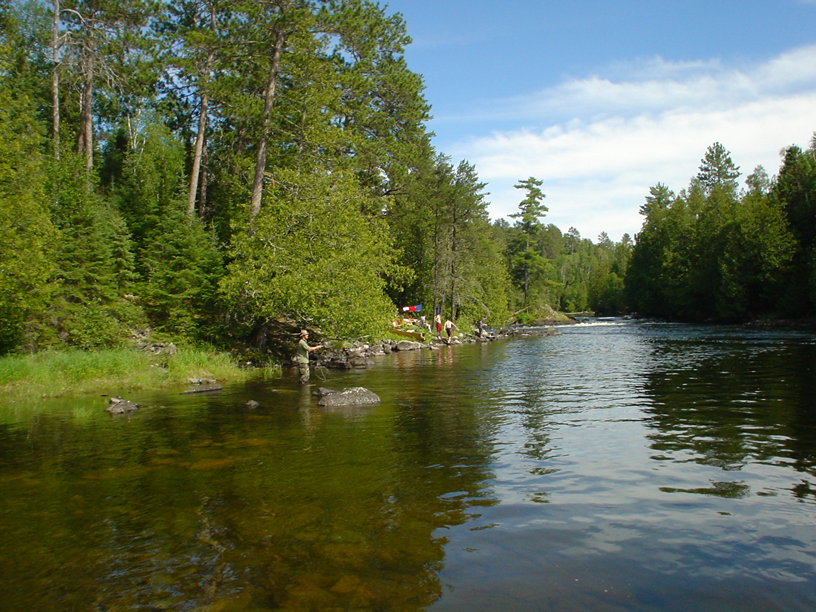
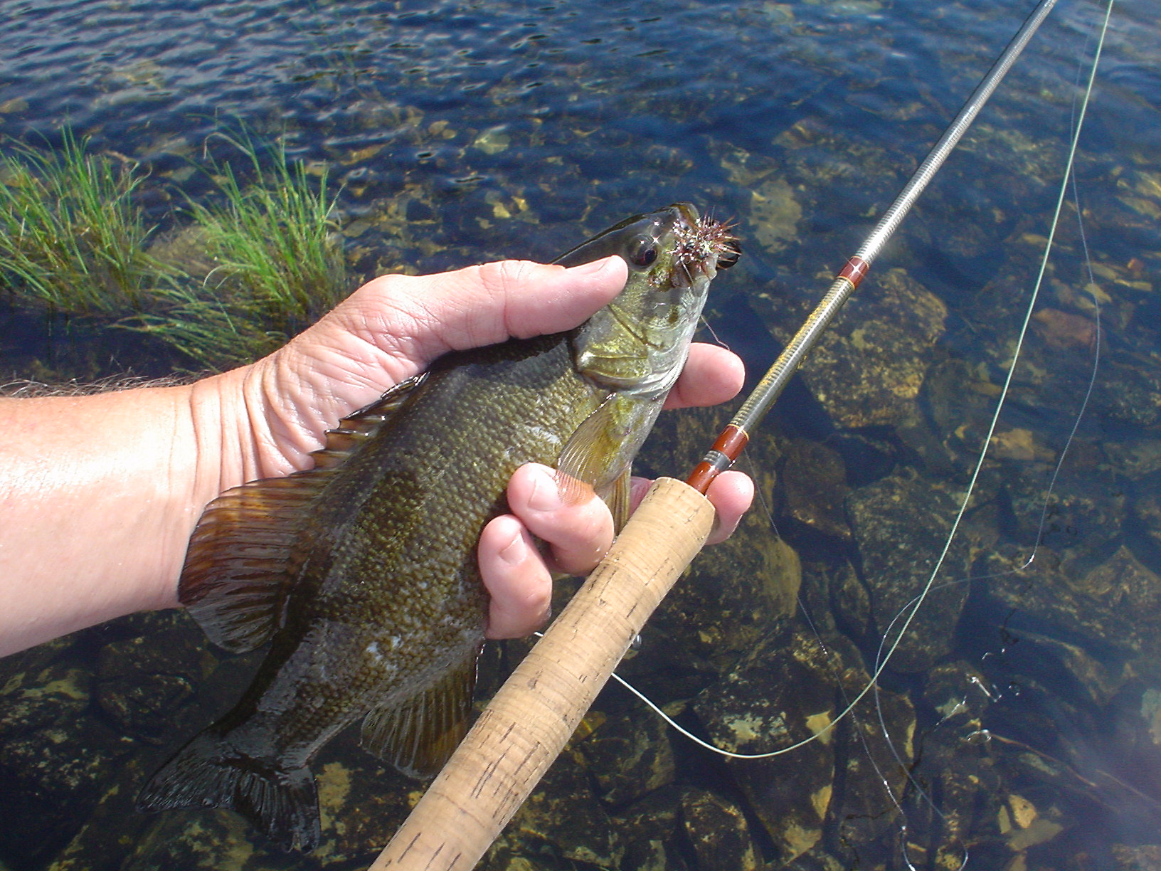
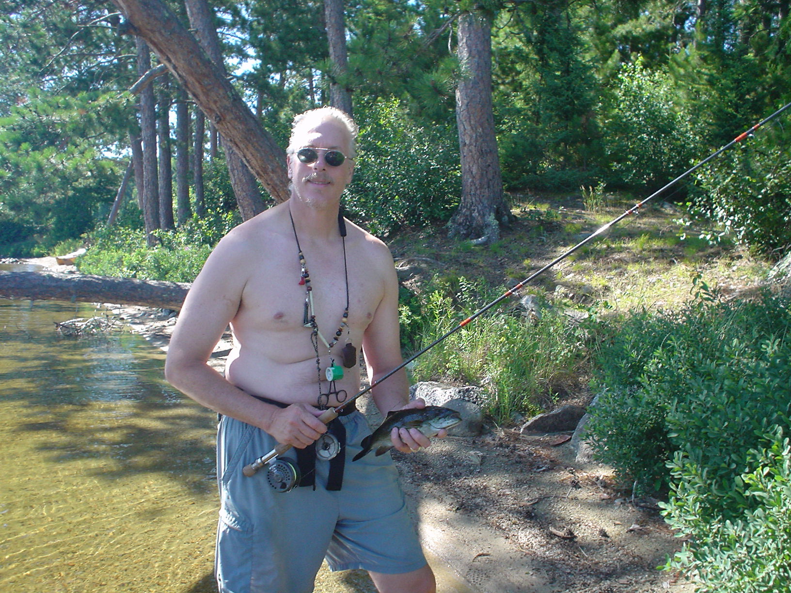
Arose at 5:30AM, determined to get on the water early, as we were planning to go through the west end of Saganaga Lake and Cache Bay; given the expanse of water there, if the wind was still blowing, we wanted all the time we could get. However, dawn broke to glassy calm and we were anxious to get on the water, but not before coffee! Paddled the 5 or so miles to Monument Portage through a picture perfect north country morning. Saw a moose (take my word for it, it’s there…just look on the shore for the dark spot right above the bow handle on the canoe) as we were approaching the portage. On the east end of Monument Portage (you walk along the border with the monument obelisks) is Swamp Lake. I was first there, carrying the canoe. There was a nice boardwalk going out across the mud into the lake, so I took that and stepped onto this nice, wooden canoe launching platform that was about 6 inches below the water. Bad move, as I quickly learned that flat boards underwater are slick. Fortunately, I sacrificed my body to preserve the canoe (don’t want to damage those high-dollar Kevlar jewels!) and got into the lake with a sore shin and bruised pride. Of course, that was better than the guide, Darren, who upon seeing my adventure tried to step in the water short of the platform, and he promptly sank up to his waist in the mud, under the canoe. It I hadn’t been nursing my wounds, I would have gotten a picture of that! We headed into Saganaga Lake, and the day was still calm. Stopped to see some cool Native American pictographs, and stopped for lunch on a spit connecting that area with the main body of Cache Bay (Saganaga). Continued on northwest now, and headed toward Silver Falls. Made camp in a little out of the way spot and enjoyed the warm early afternoon sunshine. The scouts swam in the stream, and I pulled out the flyrod, quickly connecting with many smallies like this one. Jeff R. also connected with his first flyrod smallmouth, and he’s now a hopeless case, and was heading for the fly shop as soon as we got home. Caught fish well into the evening. Since Jeff R. was using my 7wt., I got out my 5wt. and continued to mop up many, many smallies along the rocky dropoff that separated the deep water in the center of this pool with a large riffle area. These were modestly fish, up to about 12 inches, so the 5x tippet on the 5wt spool was OK, I thought. Wrong! As I was working the edge, my rod suddenly bent nearly double, and I saw a flash of silver as something took that root-beer colored woolly bugger and headed to parts unknown. My guess, from the color and shape of the fish (which I saw in the clear water) was a nice walleye. I’ll never know, but that’s one of those “fish that got away” stories that you carry with you!
Day 4 (Tuesday 7/11/06)
Silver Falls to McEwen Lake
17 miles, 201 rods
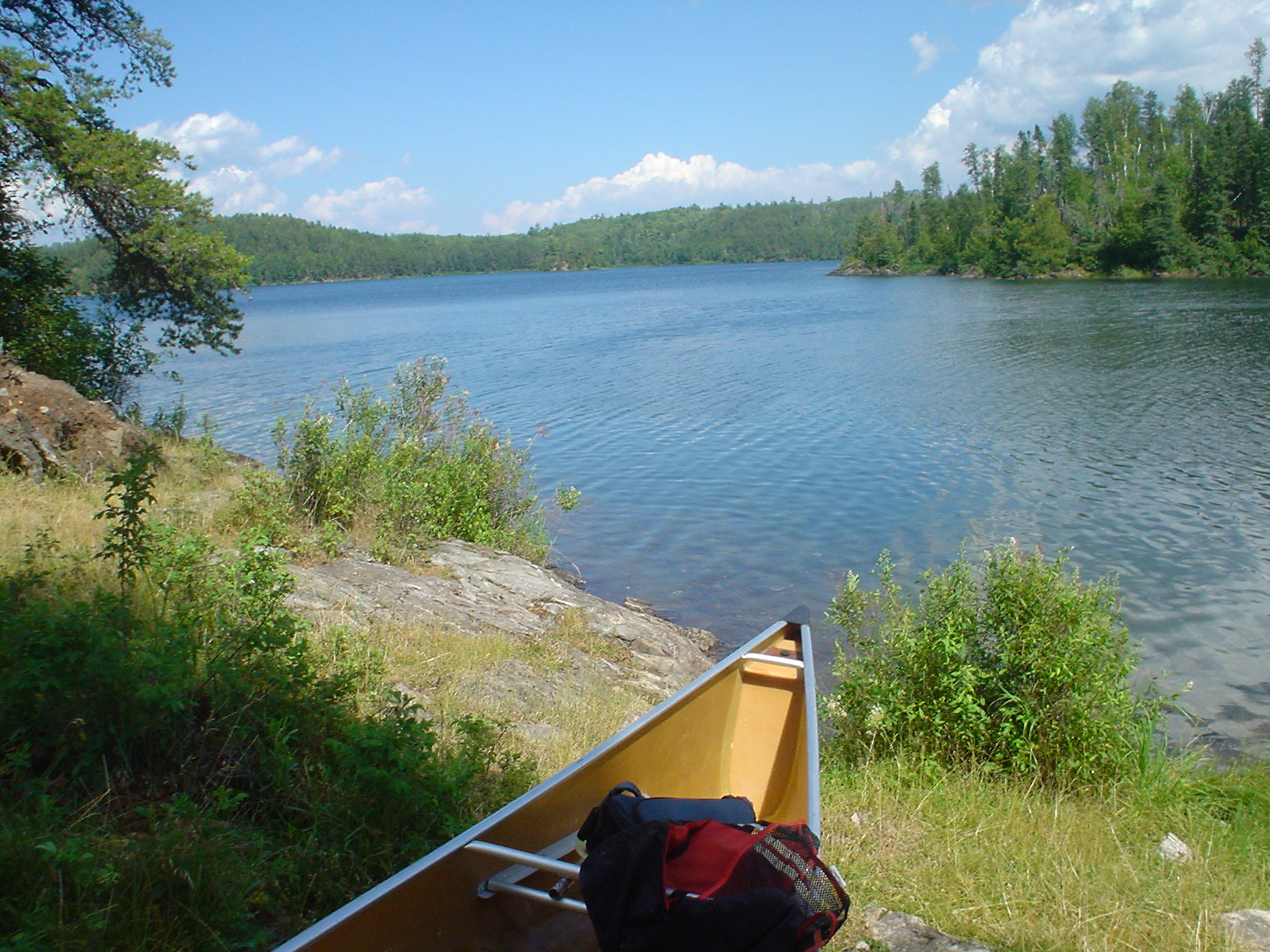
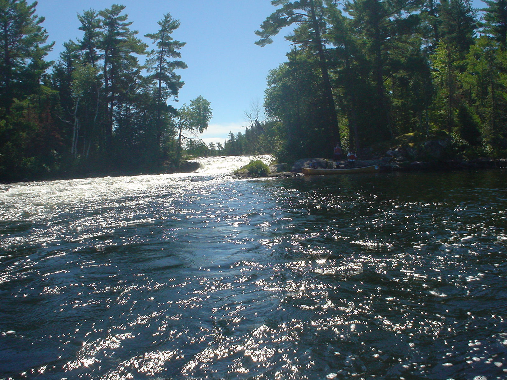
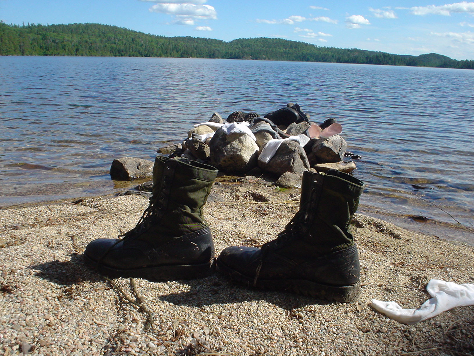
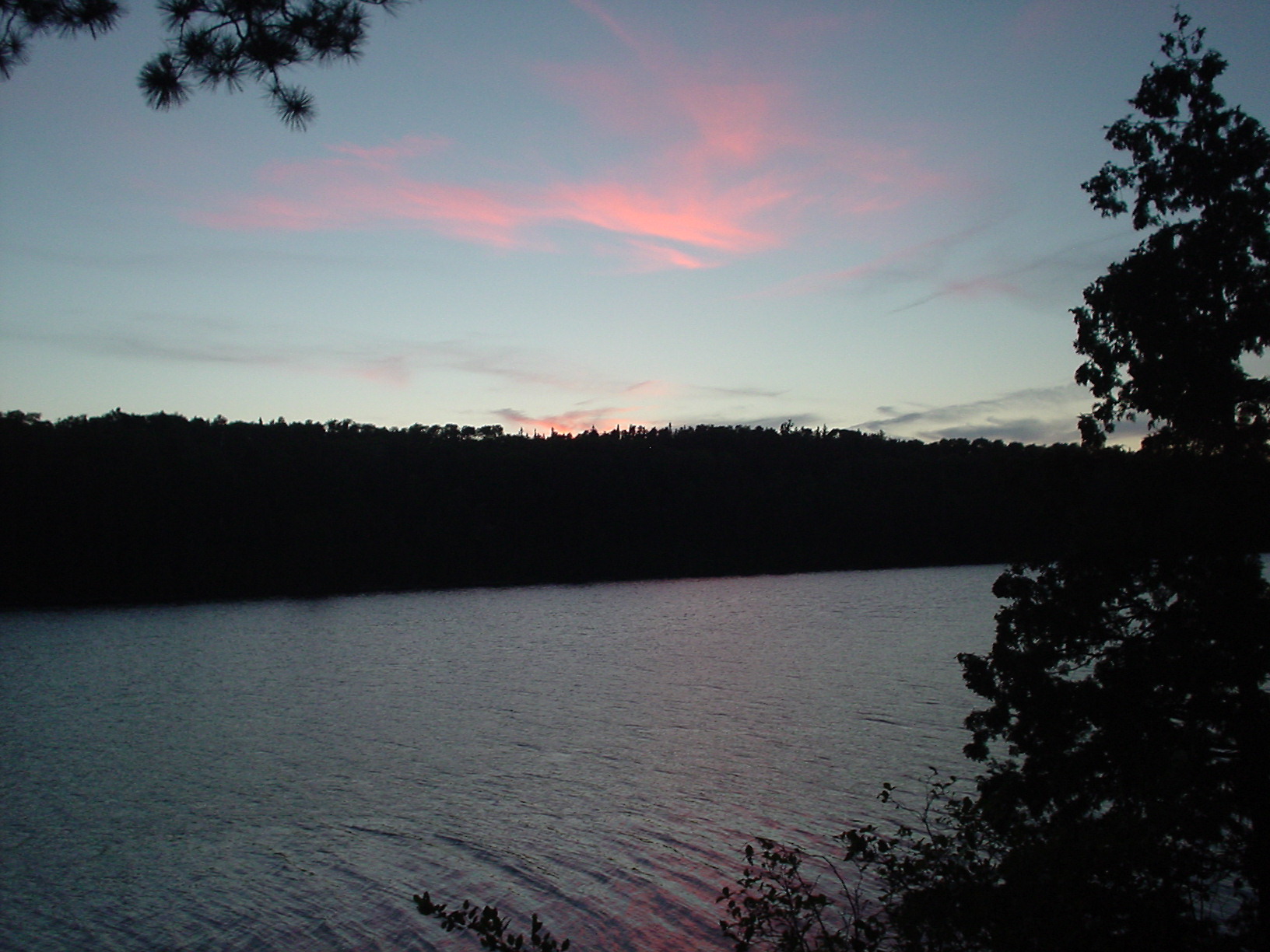
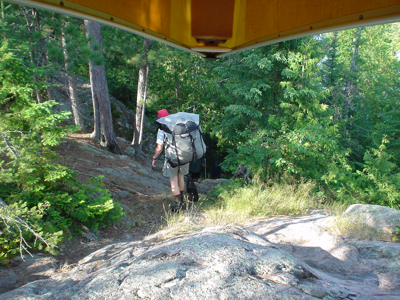
Another beautiful day, and we headed out at 7:30AM. Jeff R. got it off to a good start, following Darren’s example of the previous day and getting stuck in the mud. Here’s what a portage looks like from inside the boat! A little “wet foot” portage in Saganagons Lake (hmmm…all of them were “wet foot”) didn’t even slow us down. Headed down along part of the famous “Falls Chain,” stopping at Bald Rock Falls for lunch and a swim! This started a really great part of the trip, since after we left Bald Rock falls, we didn’t see anyone outside our group until Thursday when we reached Agnes Lake. There’s something really great about being that far away from the crowd in this day and age. Made it to camp about 2:30 in the afternoon. Our guide, Darren, had never been on this part of the trip before, but he’d heard from a colleague that there was a great campsite with a south-facing sand beach on an island in McEwen Lake. Boy, did this place ever live up to expectations! I rigged up my flyrod with a sink tip and a heavy black wooly bugger and quickly caught this fine bass. Landed some other really nice fish along some rock ledges on the east side of the island. At this point, I was content to watch the boots dry and take in the beauty and solitude of McEwen Lake. The bonus at this campsite was that the warm southerly breeze off the lake drove away the bugs. We were even able to sit out at dusk and see the sun set on a perfect day.
Day 5 (Wednesday 7/12/06)
McEwen Lake to Louisa Lake
15 miles, 364 rods (12 portages!)
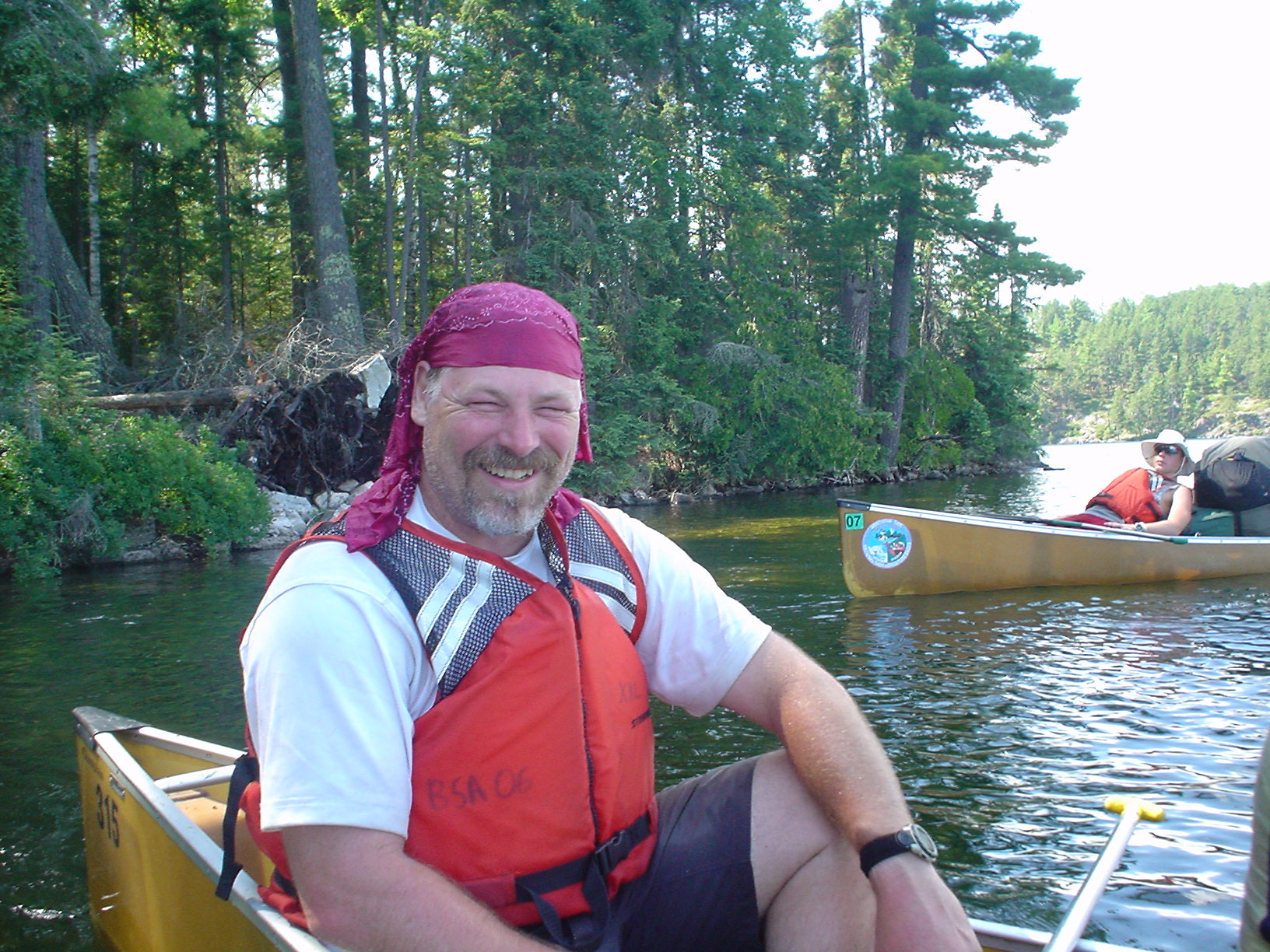
This was the day of portages! There are 320 rods in a mile, and while 1.1 miles of walking (364 rods) doesn’t sound like a lot, that was a dozen times to pick up the packs, pick up the canoes, and try to avoid getting stuck in the mud or slipping on the rocks. We left that wonderful McEwen Lake campsite about 8AM, after a bit of canoe repair (adjustment on one of the seats). Paddled a bit more than a mile to the end of McEwen Lake, and started up McEwen Creek. The creek got smaller and more “moosey” looking but we didn’t see another moose on the trip, beyond the one on day 3. We paddled through a number of shallow areas as we negotiated the chain of small lakes (Glacier, Turn, Edge, Rod, Dumas) toward Louisa Lake. We stopped for lunch on a point in Fauquier Lake (the crew loved the name of that one, and also “Dumas”; ah, those French names…). We continued on after lunch through two more very small lakes, Star Lake and Arp Lake. At the end of Arp lake, we had the longest portage of the day, a 96 rod jaunt to Louisa. We were getting hot and tired, and when we came out of trees onto the shore of Louisa, it was like a miracle. Most of the day’s portages had been rocky, muddy, swampy, steep, deep, as well as other unhappy descriptions. Ah, but Louisa! We came out onto a wide sandy beach, with a south wind blowing freshly into our faces, warm, clear water lapping at our feet, and we dropped our loads and jumped in! We floated, swam, and generally enjoyed this well-earned treat. However, that fresh wind was blowing right from the southwest, where we needed to paddle. We hopped into the boats, and charged off down 5-mile long Louisa Lake, making about 4 mph, even into the breeze, but we were paddling 3 men to a canoe. We took a quick break in the lee of an island, with Jeff R. doing his best pirate imitation. We made camp on a small peninsula jutting out from the west side of the lake. It was a nice place, and we were quite happy to get there. We were pleased to find that again, this was relatively bug-free, and the campsite had nice, soft pine needles upon which we pitched our tents. This had been a long day. I thought about fishing, made a few casts, but decided it was too much like work. The crew did a bit of swimming, gathered some blueberries from an islet just south of the peninsula, and we cooked dinner and crashed.
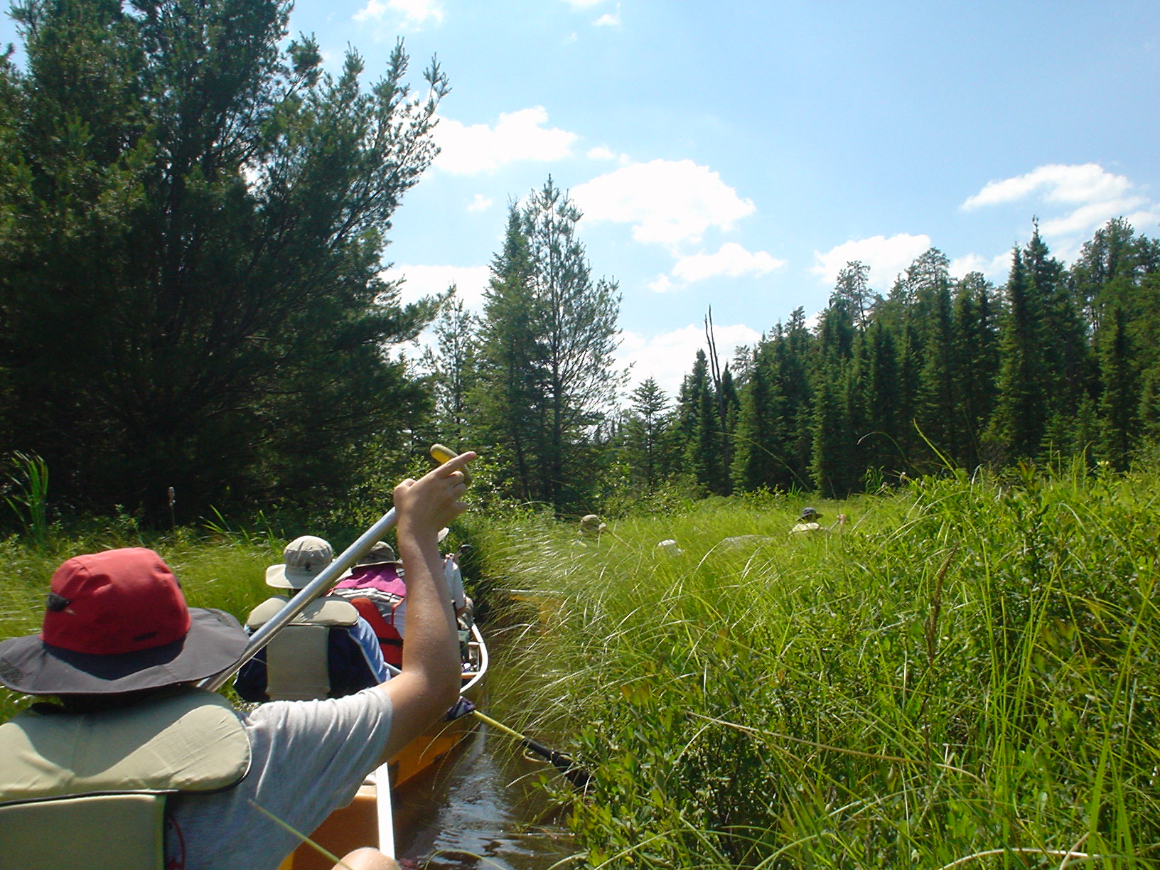
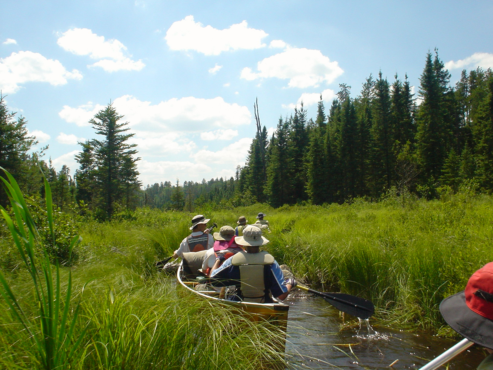
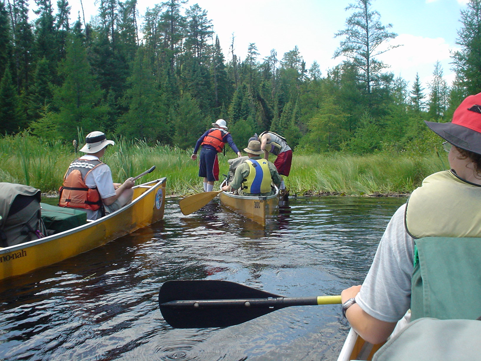
Day 6 (Thursday 7/13/06)
Louisa Lake to North Bay (Basswood Lake)
17 miles, 173 rods
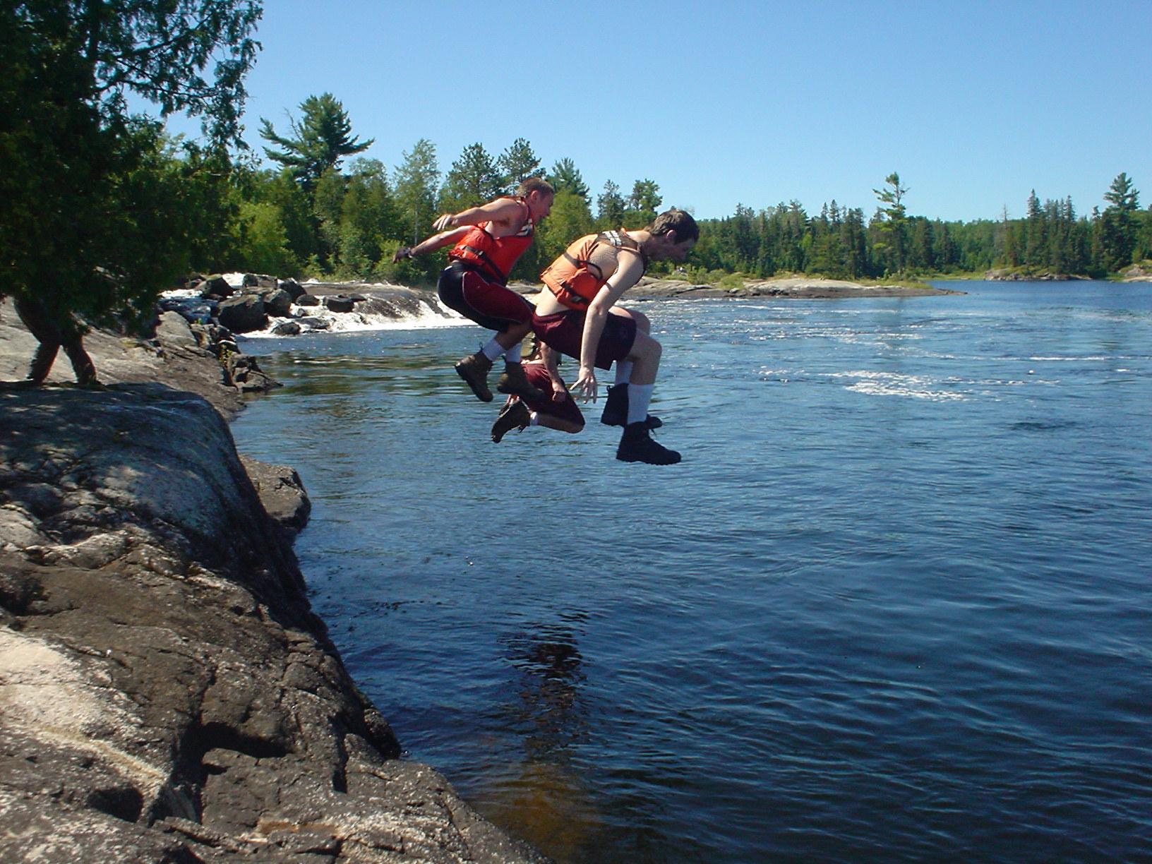
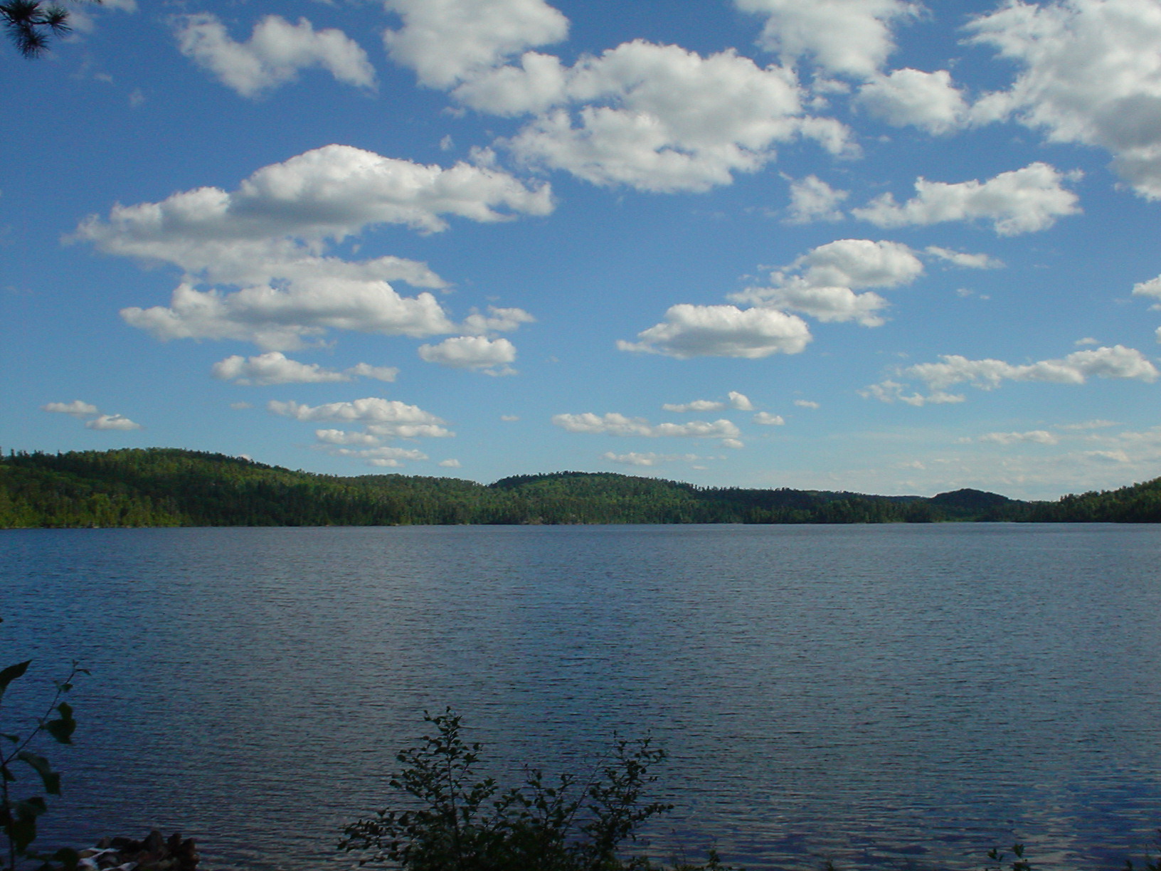
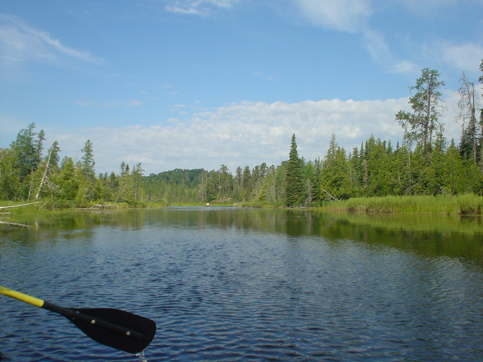
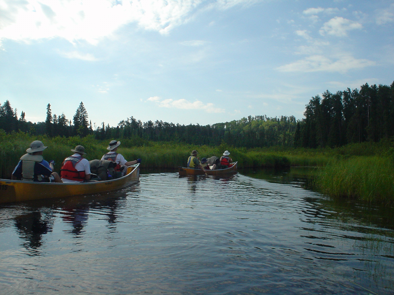
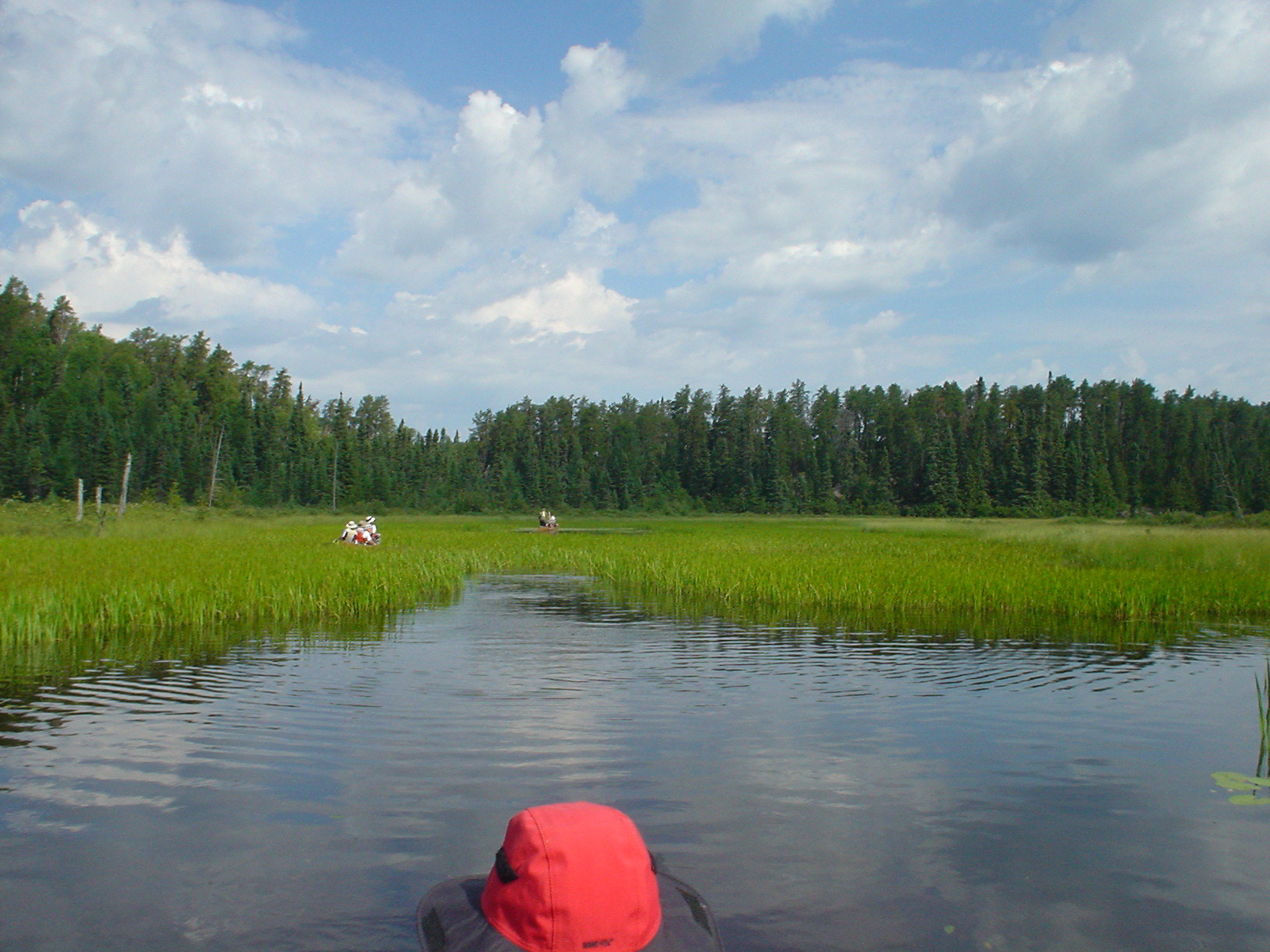
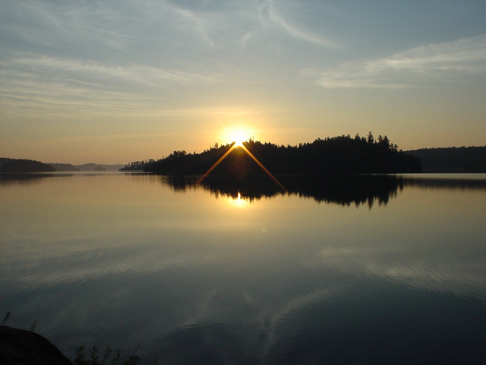
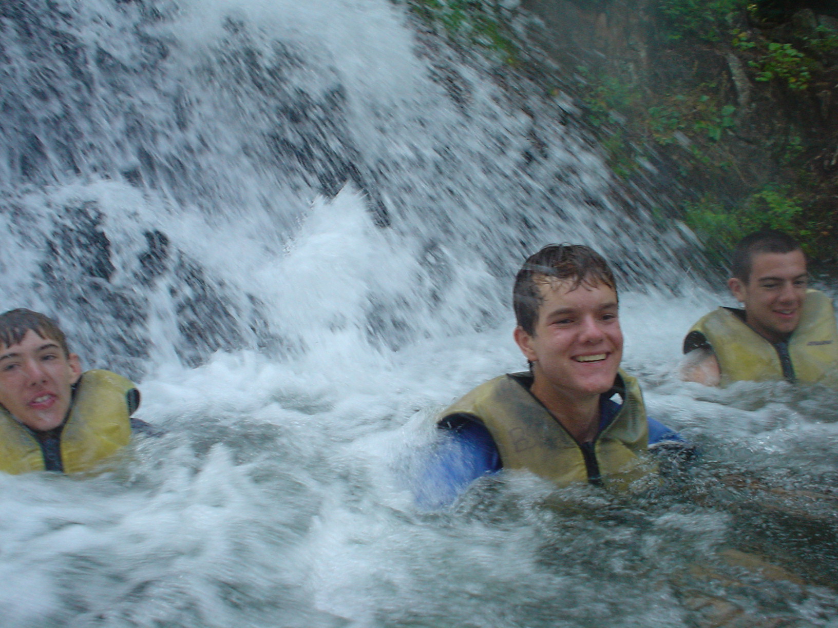
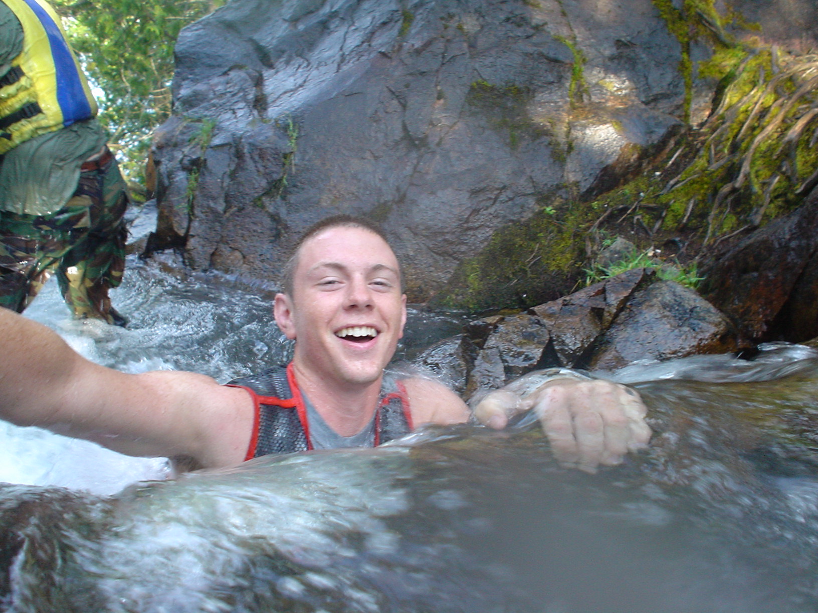
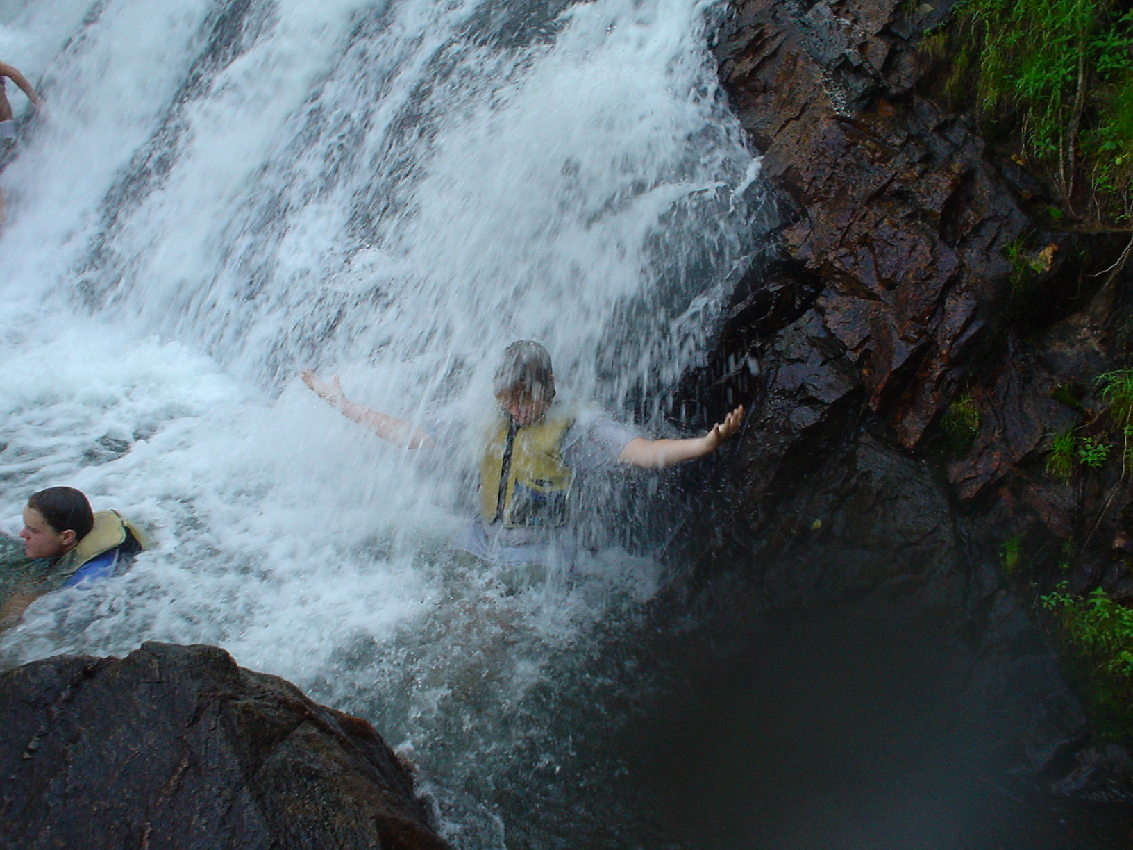
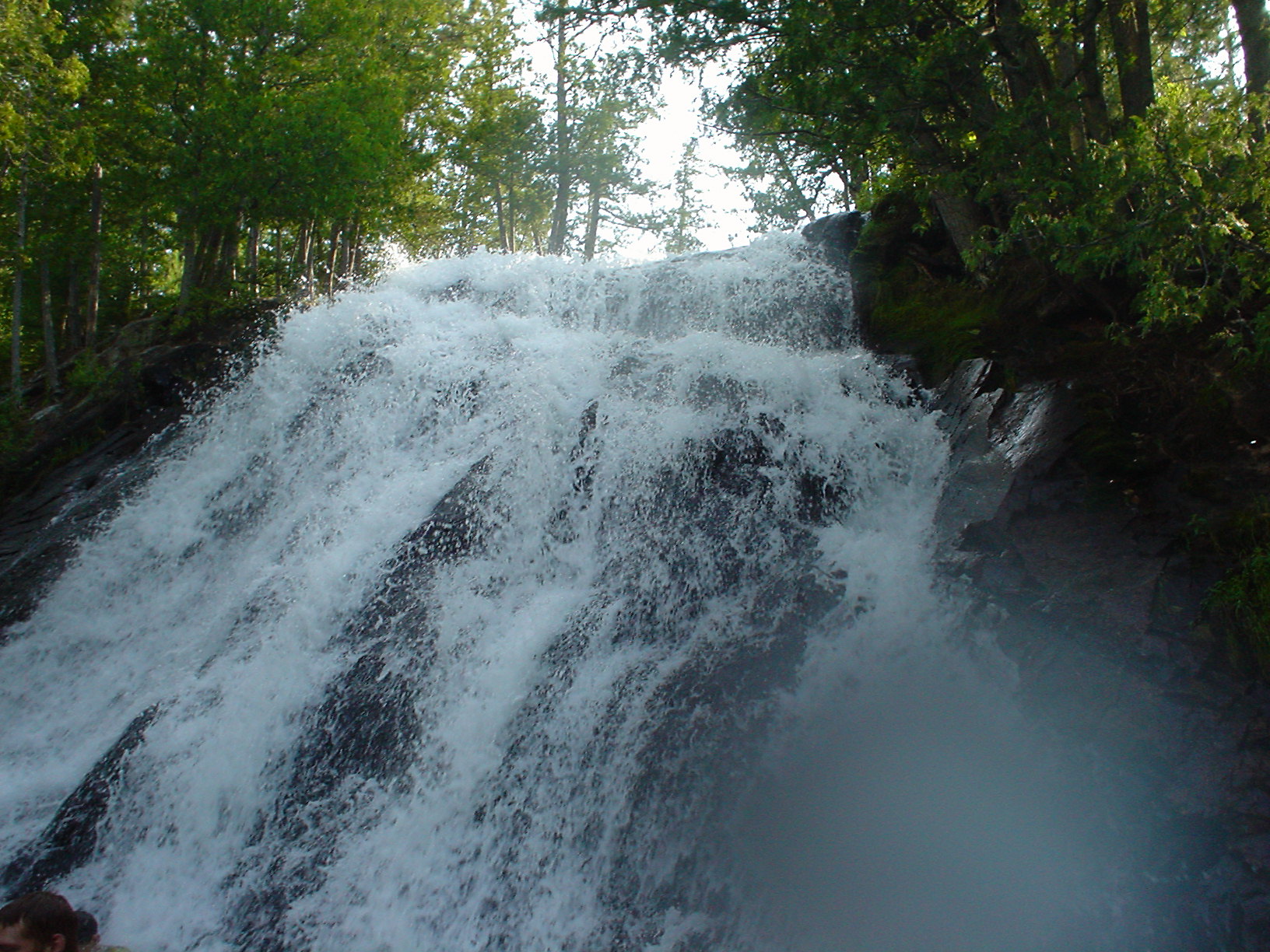
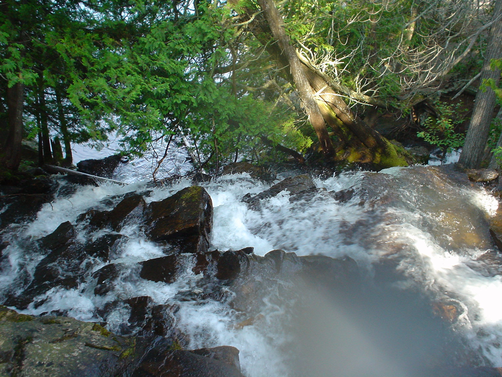
Dawn broke with a beautiful sunrise across Louisa Lake. A quick breakfast and we were out on the lake, heading to the south end of the lake and Louisa Falls. Louisa Lake drops very steeply to Agnes Lake, probably loosing 100 feet in a precipitous 80-rod portage. However, there is a great benefit, as there is a perfect “shower pool” about ½ way between the two lakes. A great place to wallow in the water a bit, and the perfect morning shower! Here are a couple of shots up and down from the mid-point. We got down to Agnes Lake without incident, and on the far shore, finally saw some other travelers, bringing to an end the complete solitude we’d enjoyed since Tuesday. Our plan was to paddle up Agnes about 3 miles and catch the 39-rod portage to East Lake. However, that portage trail is apparently very steep and must have fallen into disrepair, as we could not find it in about 30 minutes of searching. Plan B was to continue up Agnes around a point right as the lake opens up onto the main 10-mile long lake body. We did this and finally found the second portage into East Lake, though this detour gave us 5 miles of paddling to replace the 39-rod portage we missed. One of the reasons that we wanted to take this route, rather than the more traditional “S-chain” lake route (Silence, Sultry, Summer, Shade, etc.) was that this took us through Jeff Lake, and with two Jeffs on the trip, we figured that it was a “must-see.” If we thought that the route was small and tight on McEwen Creek, the creek between Jeff Lake and West Lake was really tiny! We paddled ahead, hoping that we’d have enough water to float our boats. We went through some amazing stands of water lilies, and over several beaver dams. Late in the day, slowed significantly coming through the swamp, we reached North Bay of huge Basswood Lake for our last night of the trip. We thought about paddling further, but the wind was blowing briskly into our faces, and this was a nice campsite, so we settled in for the evening.
Day 7 (Friday 7/14/06)
North Bay to Base Camp
17 miles, 170 rods
Morning on the last day brought the familiar ritual application of suncreen. We were ready to go! Three short portages and about 11 miles of easy paddling brought us back to border at Prairie Portage at the edge of the Quetico-Superior Wilderness. We had an early lunch, enjoying the amenities of civilization, along with company from our friends Stripes and Scruffy (we were careful and didn’t feed them). We carried our gear from Canada back to the US, and headed toward Sommers Canoe Base. If the first part of the trip was easy paddling, the last part made up for it. We had a very tough paddle against a howling wind back across Sucker, Newfound and Moose Lakes. We were whipped puppies, but were very happy to reach the lee of “Boy Scout Island” right across from base. We swam and enjoyed the afternoon until our 3PM check in slot. Paddled over, and with a feeling of both accomplishment for what we’d done and sadness that the trip was over, we turned our gear in and unpacked.
Total 107 miles, 1384 rods